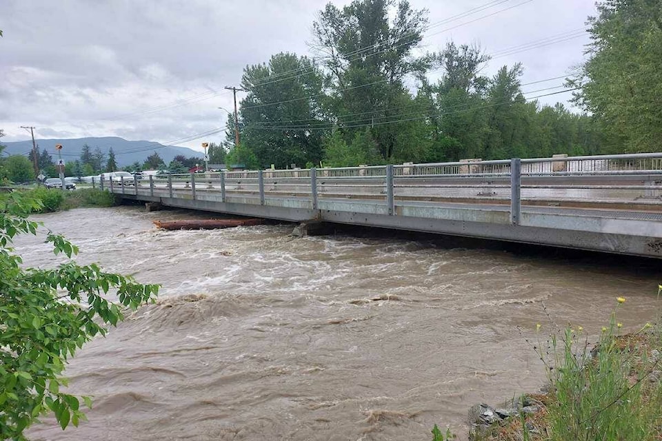
Heavy rain is on the way to the Okanagan.
Environment Canada has placed the Okanagan under a special weather statement starting on Friday and going into Saturday night. Heavy showers coming to the region could cause new flooding, and current flooding to become a larger problem. Because of the melting snowpack, heavy mudslides are also possible.
The precipitation is expected to be heavy at times when it arrives Friday morning and will intensify Friday afternoon with the chance of thunderstorms.
The areas most heavily affected are supposed to be the Central and South Okanagan, including Kelowna and Penticton, Arrow Lakes, and Highway 3.
It91������Ƶ�s unknown the amount of rain that is expected.
READ MORE: Beer-themed trip on the line with Kelowna91������Ƶ�s ale trail passport
READ MORE: Dark sky at night, Kelowna91������Ƶ�s delight: Park gets nocturnal designation
jordy.cunningham@kelownacapnews.com
Like us on and follow us on .


