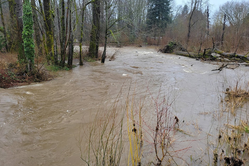
The BC River Forecast Centre (BCRFC) has issued a high streamflow advisory for the Okanagan-Similkameen, Boundary, and East and West Kootenay regions.
The warning in the Okanagan-Smilikameen applies to mainly smaller and lower-elevation creeks.
A frontal system is impacting the South Interior and is expected to stall over the Kootenay region today (April 10) and bring prolonged rainfall until Tuesday morning.
Rainfall amounts could reach 30 to 50 mm across the regions. Lower precipitation amounts are forecast for the Okanagan and Similkameen basins, but they may be impacted by the storm.
According to the BCRFC, seasonal to below-seasonal temperatures and dry conditions have persisted through late winter and early spring.
River flows in the South Interior are below normal as the freshet snowmelt season has yet to significantly begin. Forecasted rainfall is expected to cause flash rises in creeks and rivers.
Smaller, low-elevation creeks with remaining snowpack are most at risk. Conditions are expected to last throughout the weekend with periods of rapid river rises.
Fast-flowing rivers pose an increased risk to life safety.
The forecast centre continues to monitor conditions and will provide updates as conditions warrant.
READ MORE: White smoke in West Kelowna just a controlled burn
gary.barnes@kelownacapnews.com
Like us on and follow us on and subscribe to our daily and subscribe to our daily newsletter.


