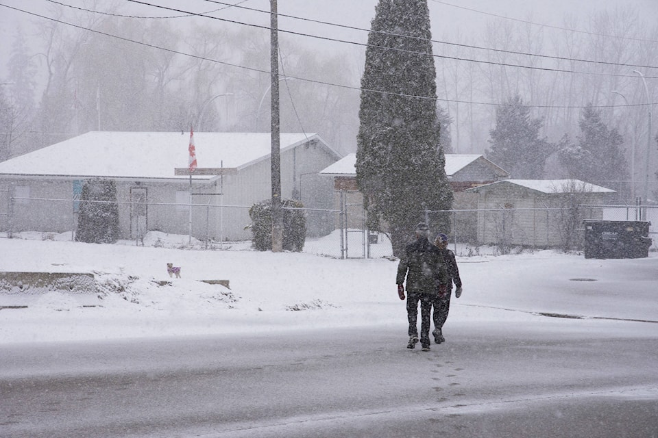
S0uthern B.C. residents woke up to an April Fools joke from Mother Nature this morning as snow returned to the sky and blanketed the ground in some areas.
Further flurries are expected tonight across the Okanagan-Shuswap and Environment Canada forecasts a good chance of further snowfall tomorrow and possibly on Wednesday after a brief return of the sun on Tuesday.
A special weather statement issued by Environment Canada this morning says as a low pressure system works its way across Southern B.C. today there is the potential for heavy snow fall.
Highway alerts are in effect for the Coquihalla from Hope to Merritt and Merritt to Kamloops as well as Highway 3 from Hope to Priceton and the PAulson Summit to Kootenay Pass.
The Okanagan Connector and the Trans-Canada Highway from Eagle Pass to Rogers Pass also have warnings in effect.
sports@saobserver.net
Like us on and follow us on


