UPDATE: 4:48 p.m.
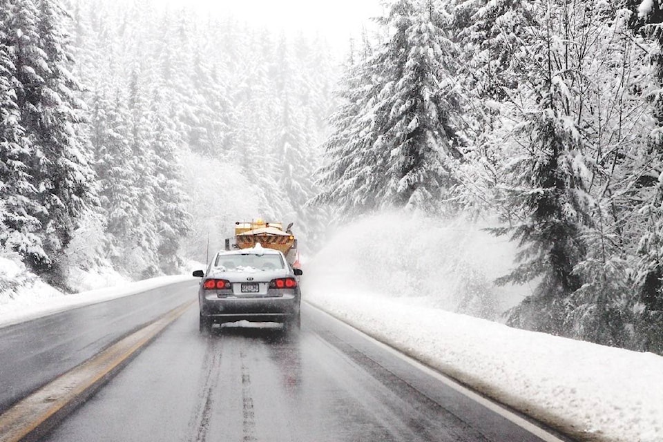
Environment Canada is forecasting snow to continue overnight for the Coquihalla, Okanagan Connector and Highway 3 - Hope to Princeton via Allison Pass.
A strong cold front is moving across southern B.C., which will lower freezing levels and bring heavy sow to the highways.
Reduced visibility and rapid accumulation of snow of up to 15 cm can be expected, by Friday morning.
Over Kootenay Pass, snow will persist until late this evening, where up to 20 cm is expected.
In the Okanagan Valley and Shuswap, a thunderstorm is anticipated this evening with the possibility of 10 mm of rain. For Friday, Environment Canada is forecasting a 40 per cent chance of flurries late in the morning and in the afternoon, with a high of 5 C.
For Metro Vancouver, the City of Vancouver and the North Shore, Environment Canada is predicting showers, flurries and hail overnight and into Friday.
A special weather statement remains in effect for the South Coast.
91������Ƶ��Ĕ�Ĕ�Ĕ
Winter weather will return to higher elevations across B.C. this afternoon.
There91������Ƶ�s a special weather statement in effect for the Coquihalla, the Okanagan Connector and Highway 3, from Hope to Princeton via Allison Pass.
91������Ƶ�A strong cold front will move across southern B.C. later today. Ahead of the cold front this morning, rising freezing levels will bring mostly rain to the passes,91������Ƶ� reads the alert from Environment Canada.
READ MORE: SPRING DELAYED ON VALLEY BOTTOM
91������Ƶ�The passage of the cold front late this afternoon will bring a sudden change in precipitation from rain to heavy snow over the highways resulting in sudden reduced visibility and possible rapid accumulation of snow. Total snow accumulations of 10 to 15 centimetres are possible from this afternoon through tonight.91������Ƶ�
Over Kootenay Pass, snow will persist today. Due to higher freezing levels, the snow may become wet or mixed with rain at times. Total snow accumulations of 15 to 20 cm are expected.
Travellers are advised to exercise caution if travelling today and to be aware of rapidly changing road conditions.
Road conditions are available at .
Please continue to monitor alerts and forecasts issued by Environment Canada. To report severe weather, send an email to ec.tempetepacifique-pacificstorm.ec@canada.ca or tweet reports using #BCStorm.
To report a typo, email:
newstips@kelownacapnews.com.
kmichaels@kelownacapnews.com
Like us on and follow us on .


